Click on an expedition below for photos and more information about field work:
New England, 2023
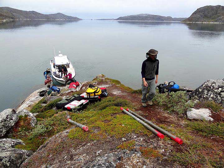
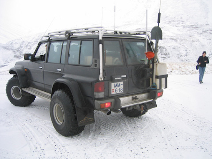
In summer 2023, PhD student Aidan Burdick and I cored lakes in New Hampshire with collaborators archeologist Nathaniel Kitchel, glacial geologist Meredith Kelly (Dartmouth College), and paleoecologist Wyatt Oswald (Emerson College). This was the first field season for our NSF-funded project investigating the rapid warming that occurred at the end of the Younger Dryas/onset of the Holocene in New England. Ultimately, we want to understand how the resulting rapid forest encroachment into formerly Arctic-like landscapes affected humans in the region 12-11,000 years ago. We cored all the way down to glacial deposits from the Laurentide Ice Sheet’s final gasps in the region. Despite an invigorating number of leeches spotted, it was a great start to an exciting collaboration!


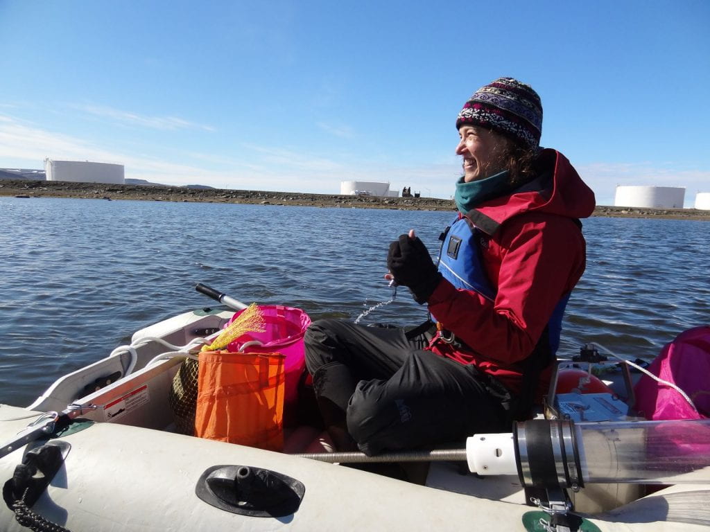
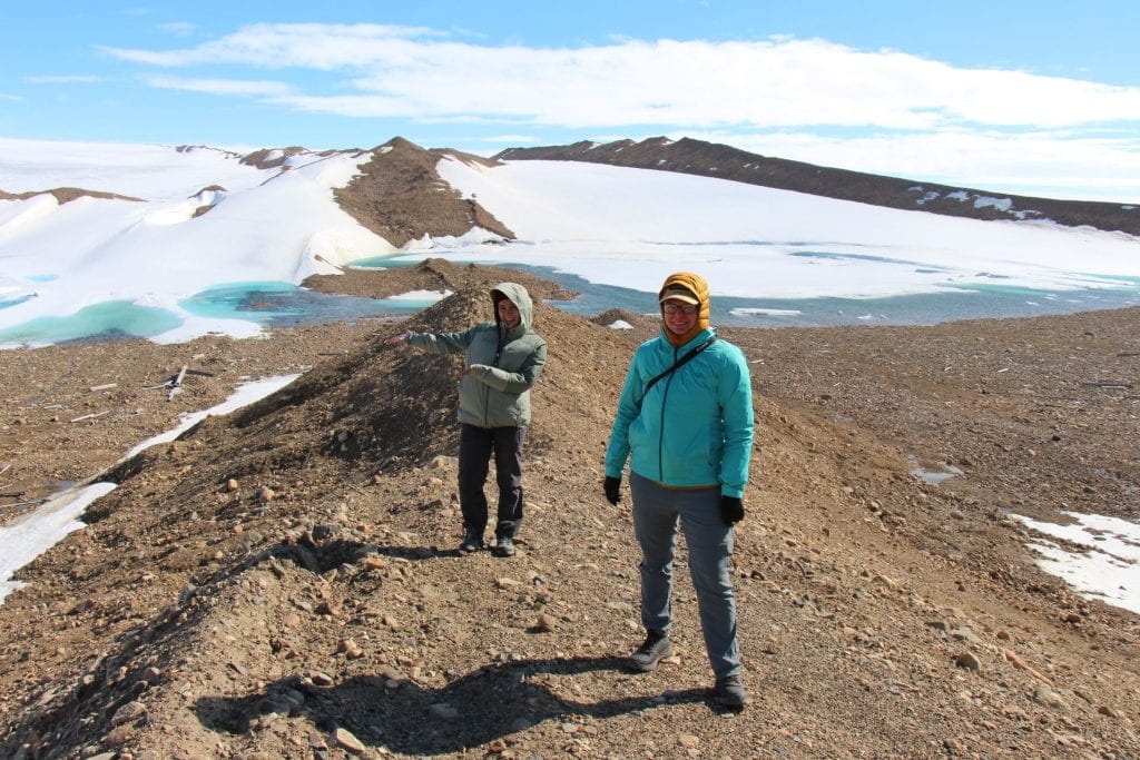
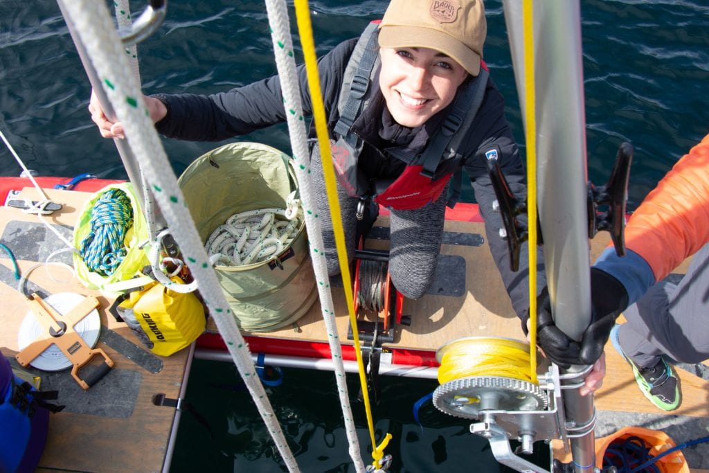
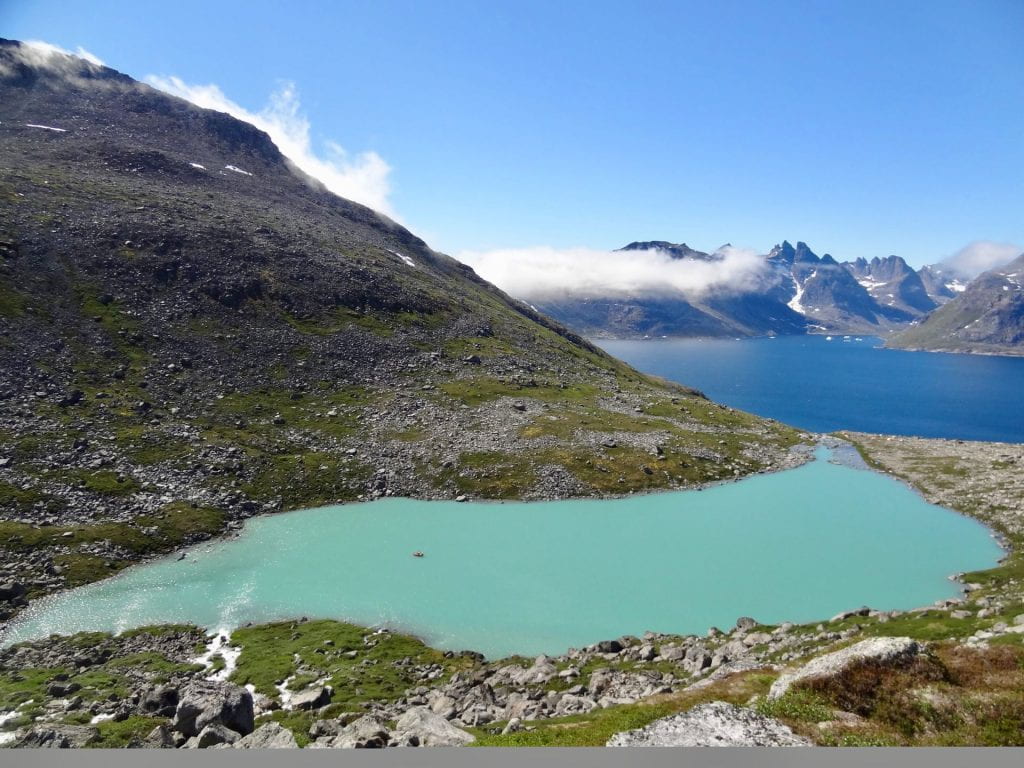
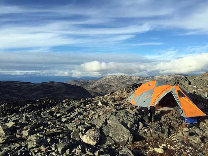
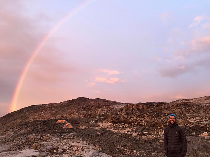
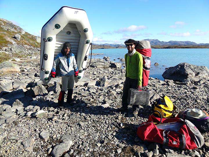
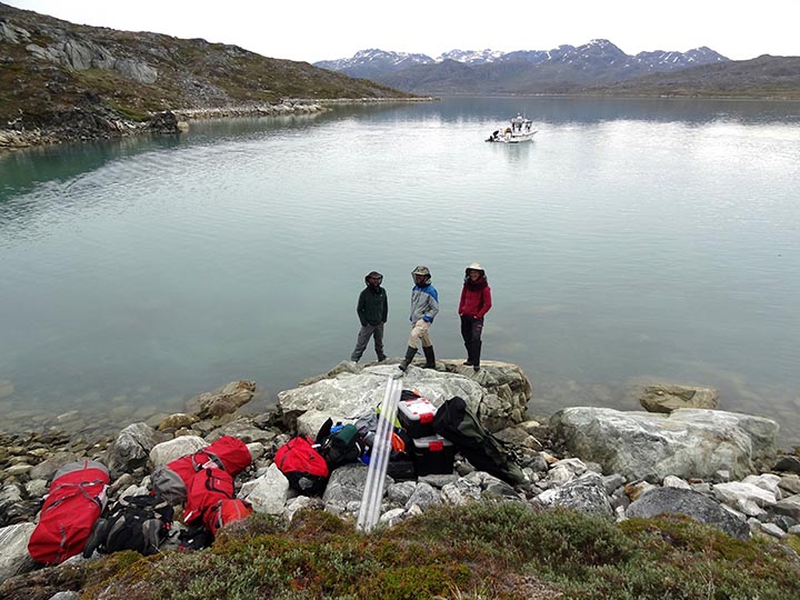
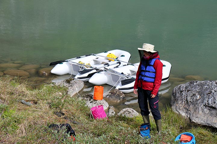
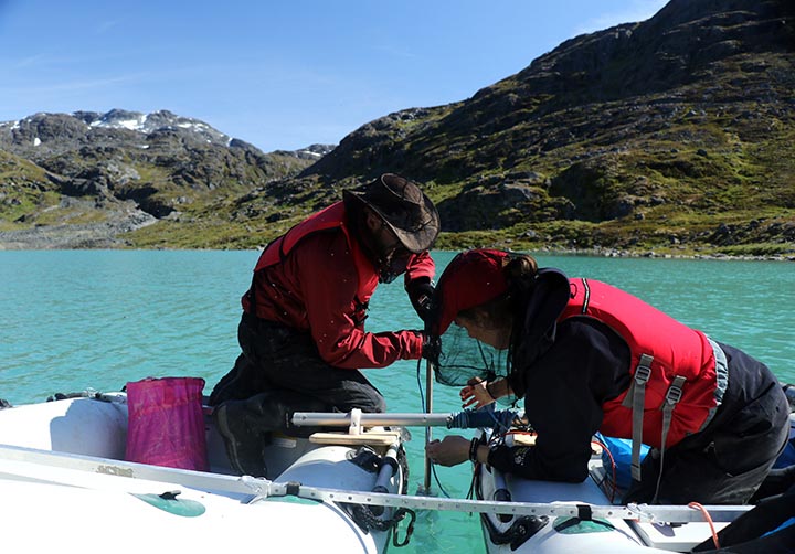
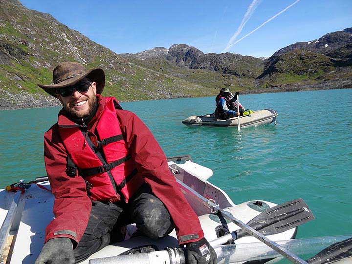
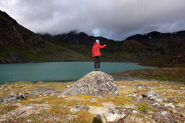
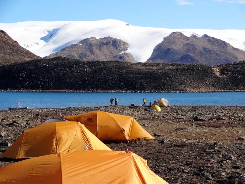
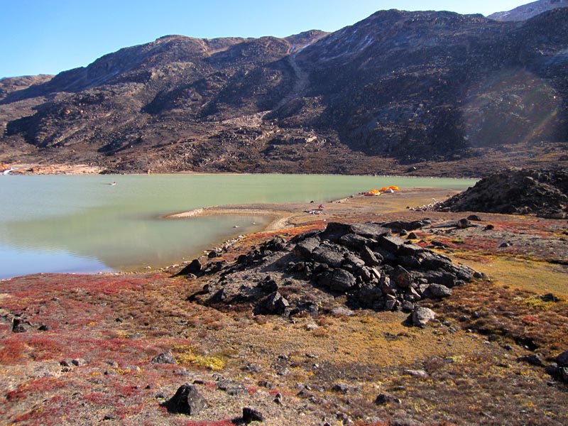
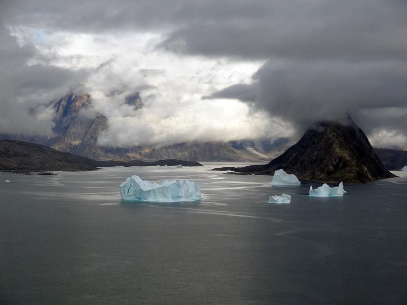
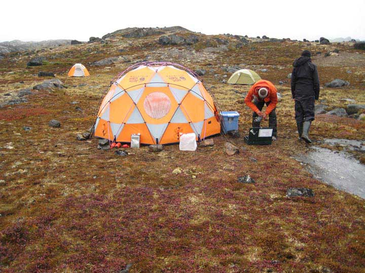
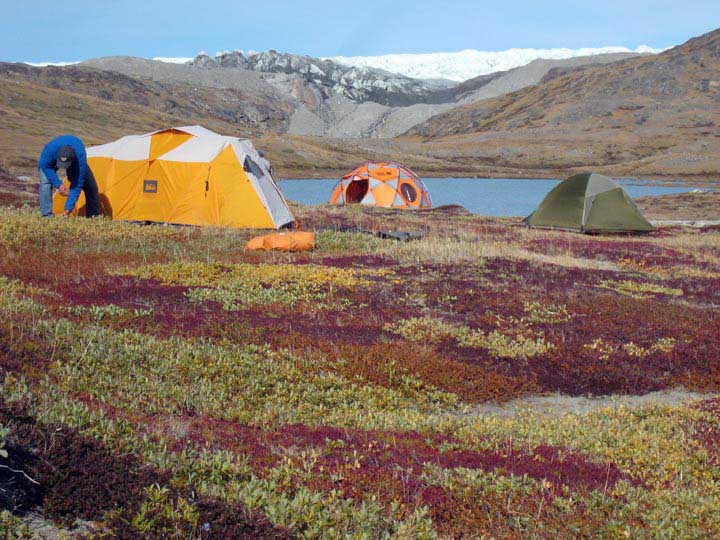
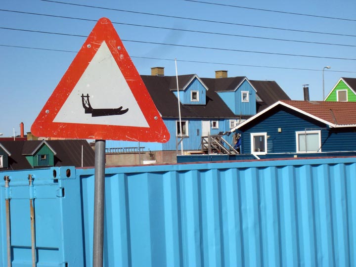
Northwest AND southernmost Greenland in the same summer! 2022
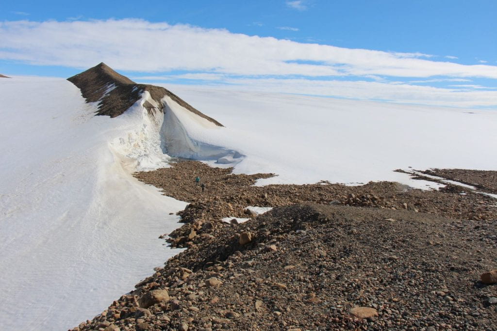
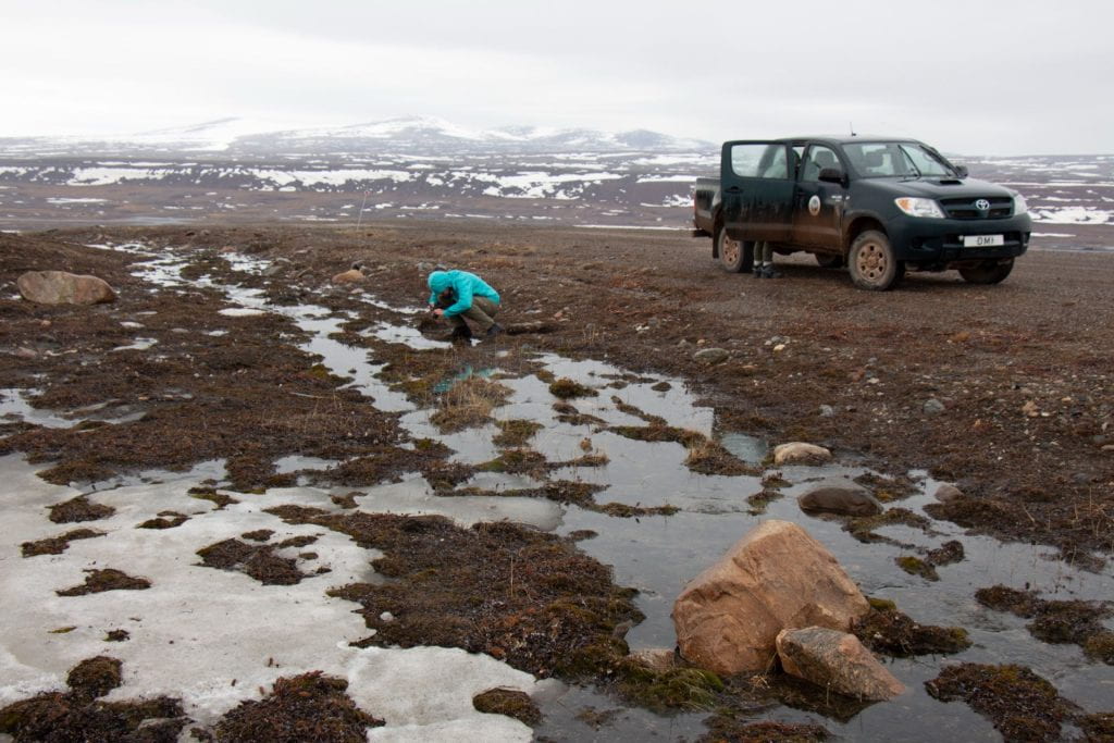
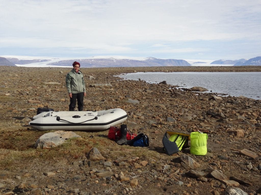
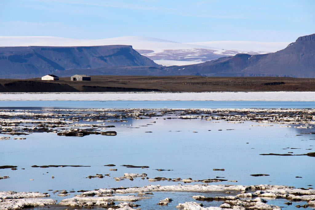
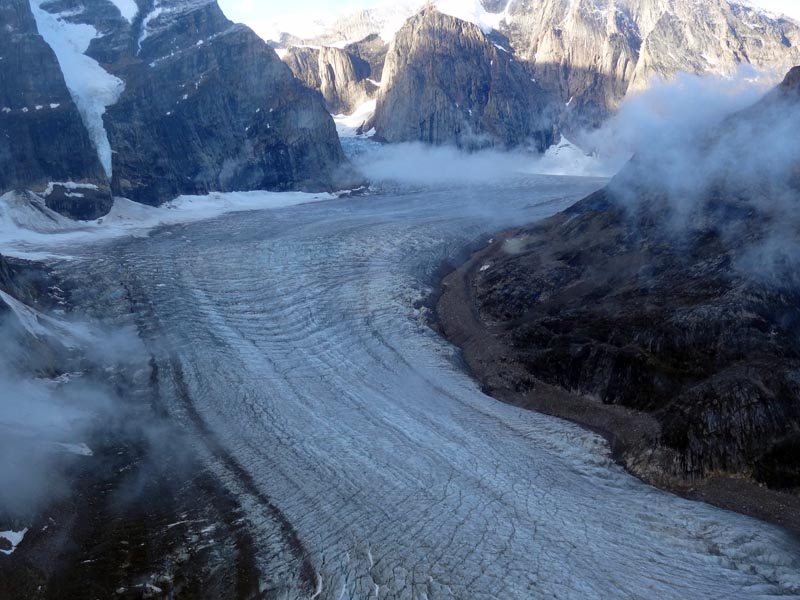
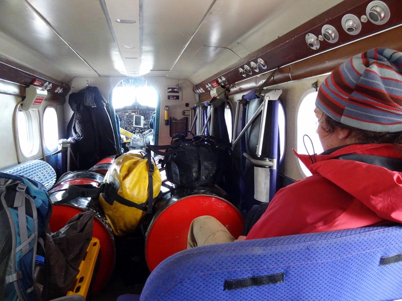
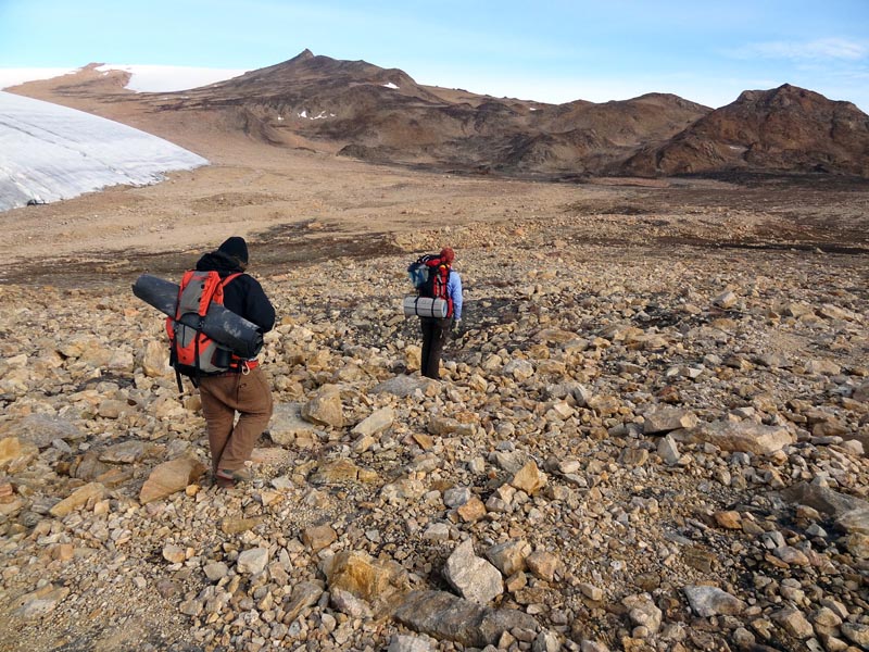
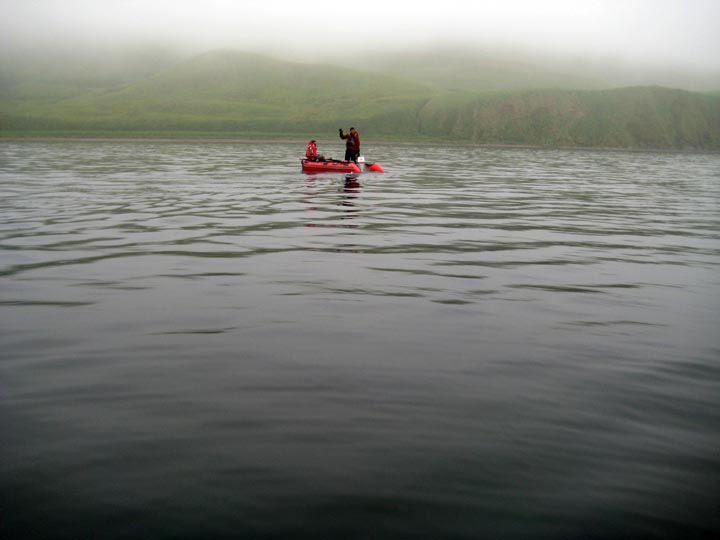
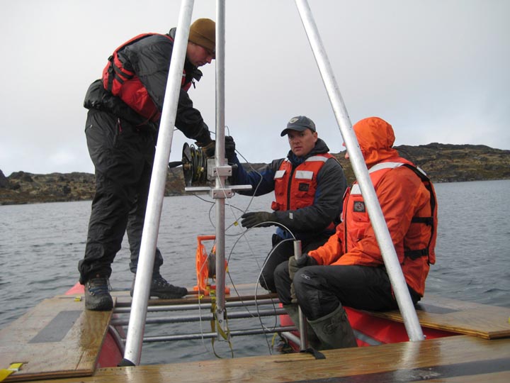
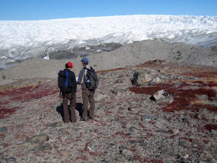
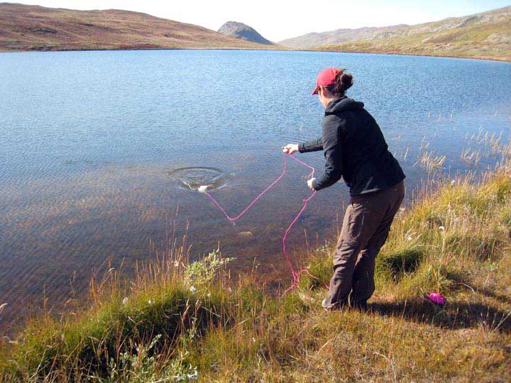
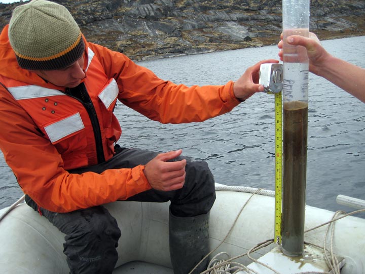
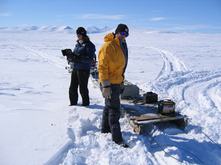
The pandemic shut down our field efforts for a while, but we made up for lost time in 2022 by planning two very different field seasons in two very different parts of Greenland: Part of our lab group visited High Arctic Thule (now Pituffik Space Base) in Northwest Greenland to sample modern calibration materials to better understand some cutting-edge climate proxies, and about one week later our group’s other graduate students traveled to subarctic southernmost Greenland to core lakes on the coast and uplands to reconstruct temperature and hydroclimate history of the past 12,000 years. Below are some of my photos from field work around Thule/Pituffik.


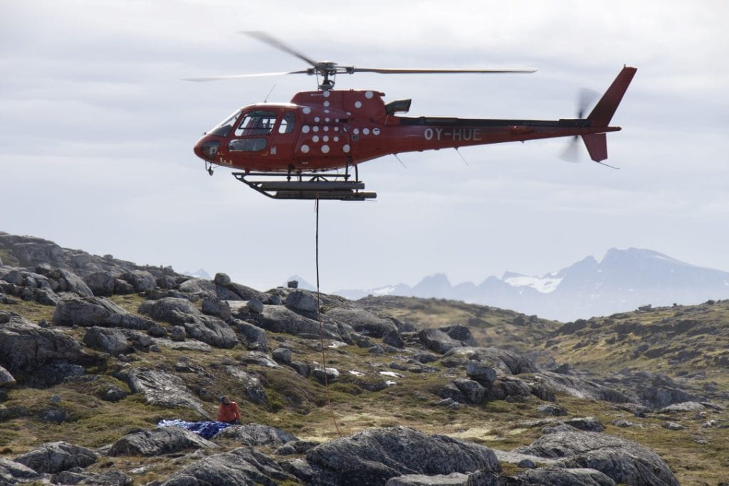
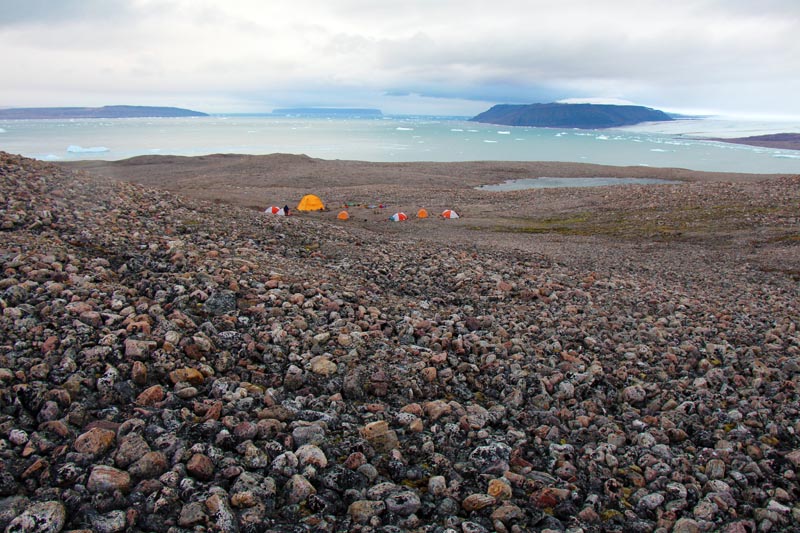
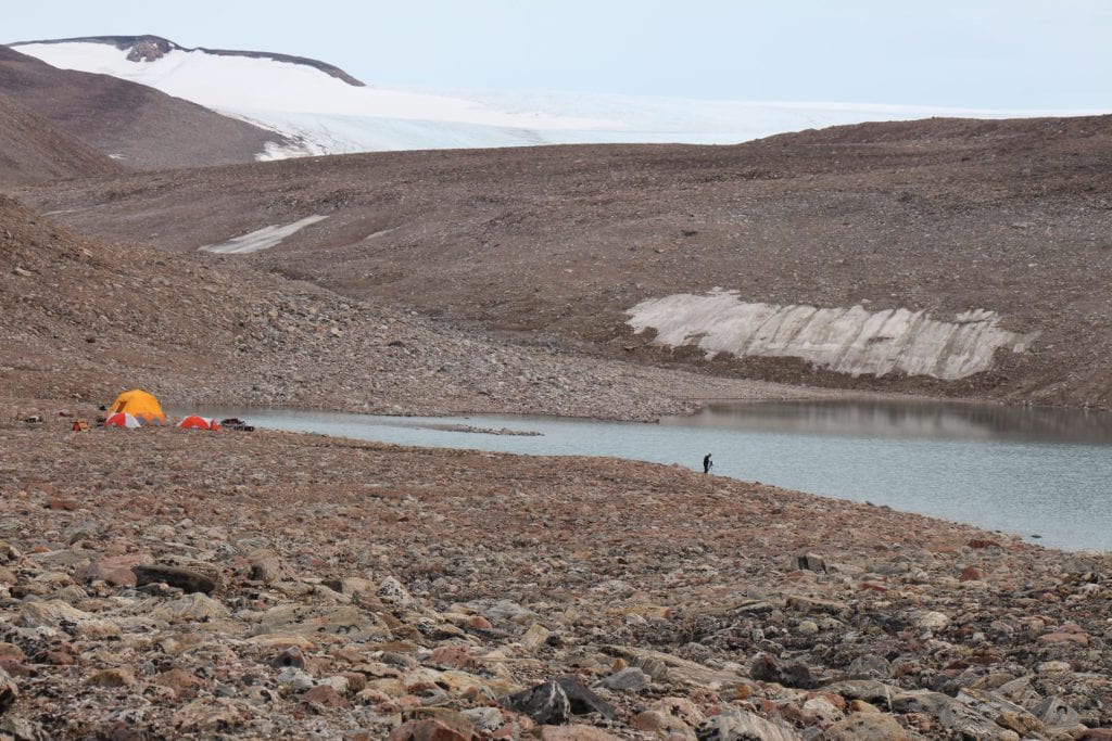
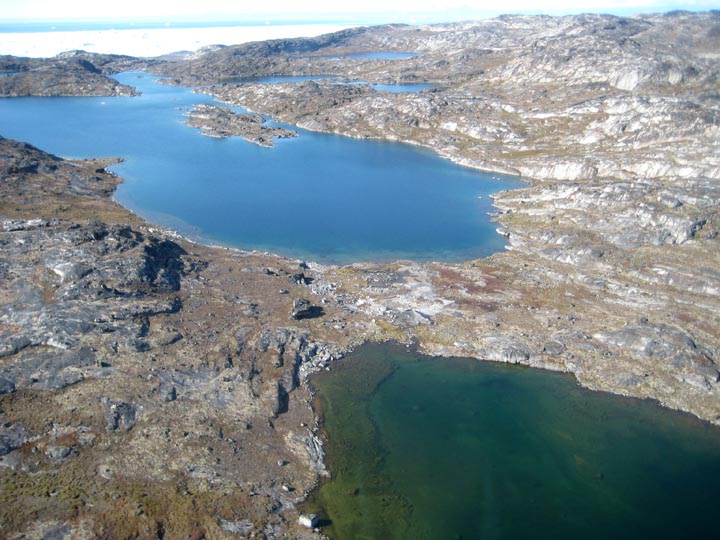
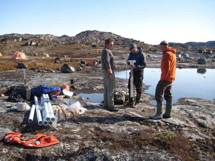
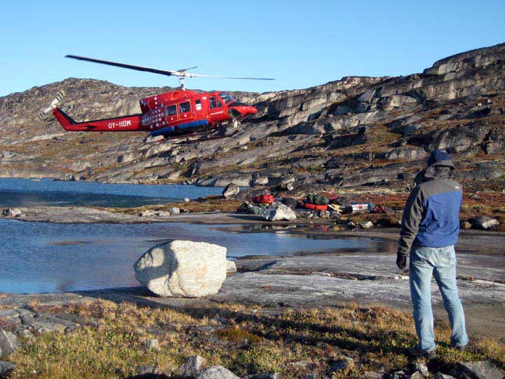
Climate records from a nunatak and an ancient island, South Greenland, 2019
The 2019 field season sampled some extremes — including lakes on a high-elevation plateau nestled between outlet glaciers of the Greenland Ice Sheet, and an island lake “famous” for preserving Greenland’s oldest-known continuous sediment record.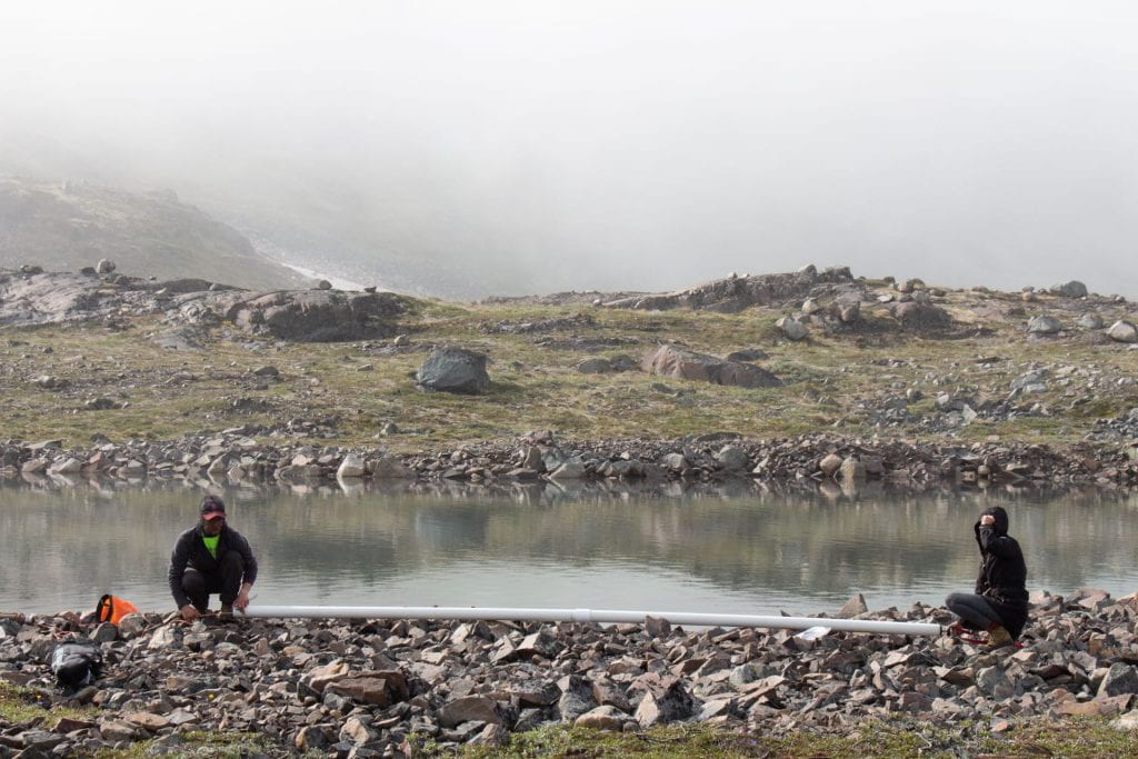


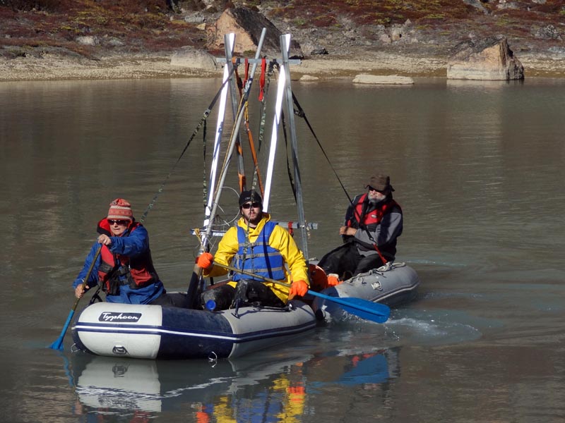
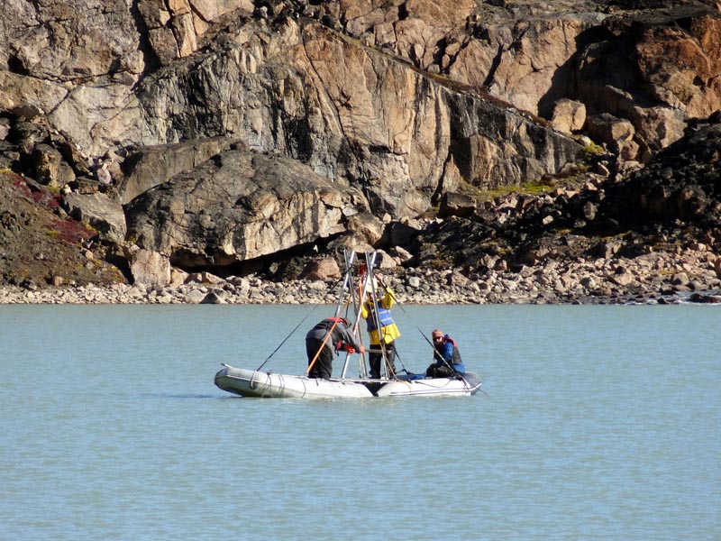
Mountain glaciers of southernmost Greenland, 2018
Our 2018 expedition to southernmost Greenland focused on glacier-fed lakes containing sedimentary records of Holocene mountain glacier fluctuations. With help from geophysical (sub-bottom profiling) equipment, we obtained exciting suites of sediment cores from three lakes with diverse mountain glaciers within their catchments. Thank you to NSF’s Division of Polar Programs for support of this research. Photos poached from various team members. For more photos, see project PhD alum and Arizona State University Asst. Prof. Laura Larocca’s website here. Laura also created a fun audio story capturing what it’s like to do fieldwork in Greenland — check it out!


Laura Larocca poses with one of two cargo shipments bound for Greenland in 2018 for her PhD field work. A lot of this is food! (Yum?)
South Greenland’s Holocene climate history, 2016
A press release from the Institute of Sustainability and Energy at Northwestern describes some of this NSF-CAREER project’s objectives. The first of three project field seasons took place in summer 2016, recovering Holocene sediment records at remote, medium- to high-elevation non-glacial lakes south of Narsarsuaq. A few field photos by Ph.D. student Everett Lasher are below. Thank you to NSF’s Division of Polar Programs for support of this research.


Glacier loss and climate change in southwest Greenland, 2015
This project, funded by the National Geographic Society, investigates the history of (currently disappearing) alpine glaciers south of Nuuk, Greenland’s capitol. In summer 2015 we cored several glacier-fed and nonglacial lakes in the Tasiusarsuaq region. These sedimentary records are allowing us to reconstruct Holocene glacier fluctuations and to constrain corresponding changes in local climate.
You can read more about this project (by Medill-educated journalist Bryce Gray) at National Geographic’s Explorers’ Journal.
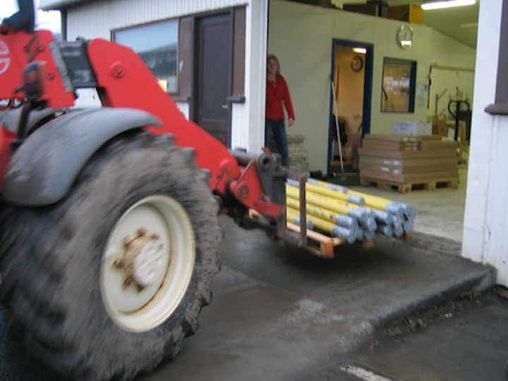
More carrying of equipment…
Preparing for the maiden voyage of my ultra-portable coring rig, designed specifically for this field season to maximize backpack-ability.

Leaving the harbor at Nuuk.
We accessed our study sites by portaging equipment from coastal drop-off points accessible from Nuuk by boat. Many thanks to the wonderful local business, MR Charter, for boat rides and other help with logistics.
Preparing for the maiden voyage of my ultra-portable coring rig, designed specifically for this field season to maximize backpack-ability.
From coastal drop-off points, we portaged equipment to our camps and study sites.
Hiking near a study site.
Winching up a core.

Part of the beautiful daily commute from our first campsite.
Examining a sediment core.
Our camp (tents visible on the far shore) and coring team (in boats) at a small, non-glacial lake near Tasiusarsuaq.
Prepping to recover a core from a glacier-influenced lake.
A storm rolls into our first study site.
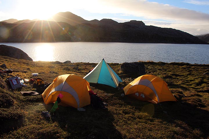
Late evening in camp.
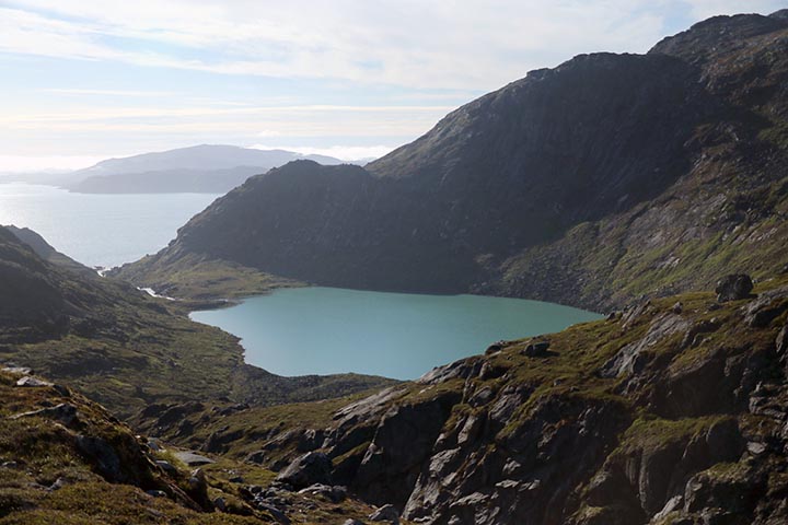
One of the glacier-influenced lakes we cored. Buksefjord (and the coastal drop-off point from which we accessed this site) is visible in the background.
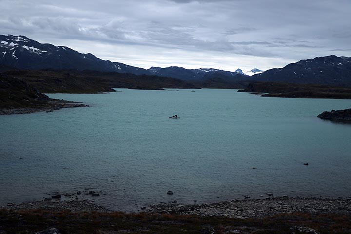
We cored an embayment of this large glacier-influenced lake near Tasiusarsuaq.
Northwest Greenland: backcountry near Thule/Pituffik, 2014
Northwest Greenland 2014. This project was in collaboration with glaciochemist Erich Osterberg and glacial geologist Meredith Kelly, both at Dartmouth College. For more info on this project and the 2014 Arctic field season, see this 4-minute video.
Above is a photo of one of my favorite campsites, with sweeping views of Wolstenholme Fjord.


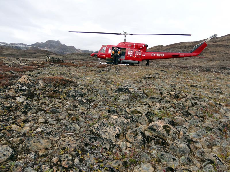
East Greenland field work: Scoresby Sund and Renland, 2011
Field work in Scoresby Sund / Renland, August 2011. Collaboration with PIs from Dartmouth College, University of Cincinnati and University of Maine.
Coring rig.
Coring.
Camp at the Renland study site.
Camp and core sites at a downstream study site. Coring rig is visible on the lake.
Constable Pynt airstrip.

A beautiful surface core recovered from Raven Lake. A chironomid is visible squirming in the water above the sediment surface.
Landing at the Renland study site. Time to set up camp.
Another view from the helicopter, en route to a study site near the margin of Renland Ice Cap.
Cores!
Hiking along the margin of Renland Ice Cap. The group was looking for organic material and rock surfaces suitable for dating.
Laura sampling a bedrock surface for cosmogenic surface exposure dating. Renland Ice Cap in background.
Helicopter transport over Scoresby Sund.
A cozy Twin Otter ride back to Constable Pynt.
Pursuing samples near the Renland margin.
Alaska Field Work: Adak Island and Katmai National Park, 2010
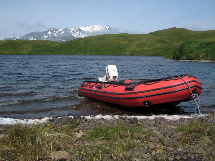
Field work in Adak Island, Aleutians.
Foggy day, Lake Andrew, Adak.
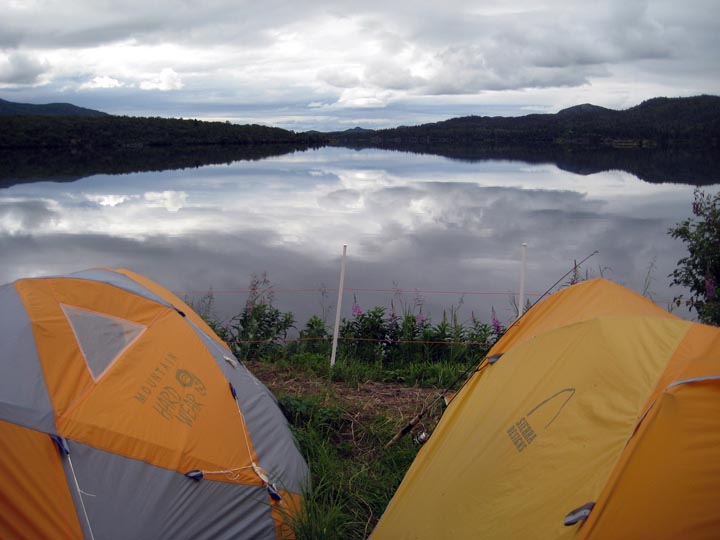
View from the shore of Heart Lake, Adak.
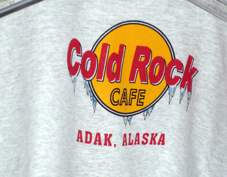
Adak humor.
“Fish Camp” in Katmai National Park, where I visited a Northwestern student who was doing summer work. Solar-powered electric fence for bears.
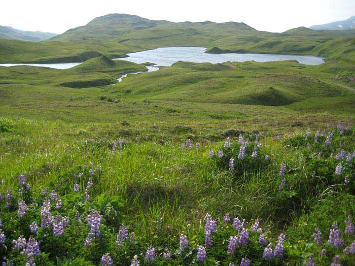
Heart Lake, one of three lakes on Adak Island cored in 2010. The Adak sites represent the western extreme of an east-west transect of study sites across southern Alaska. Collaborators from Northern Arizona University and elsewhere will study tephra layers (volcanic history) in the cores, along with geochemical and sedimentological indicators of paleoenvironments, while I examine the lakes’ paleoecological histories — all towards the ultimate goal of reconstructing past climate changes and corresponding changes in the configuration of the Aleutian Low.

Thanks to these Northwestern alums (Kyle and Mark), who were conducting fish research in Katmai NP and allowed me to crash their camp for a bit.

An unusually calm evening, Katmai National Park.

Savonoski River, Katmai National Park. The sand and gravel bars were littered with bear tracks.

The cores recovered from the Adak lakes are beautifully preserved records of environmental change — see for example the coarse, light gray ash (lapilli) layer in this core.
West Greenland Field Work: Ilulissat Area Lakes and Kangerlussuaq Ice Margin, 2009
West Greenland Field Work in the Ilulissat area lakes and Kangerlussuaq ice margin.
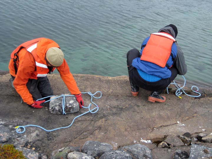
Greenland is windy. Here we’re making anchors to keep the raft in place during the coring process.
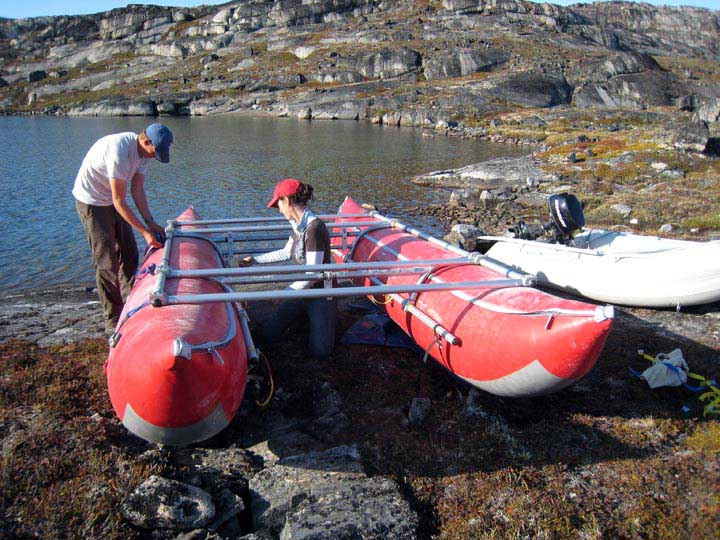
Assembling the coring raft.
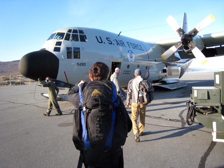
Boarding an Air National Guard Hercules C-130 flight in Kangerlussuaq to head home.
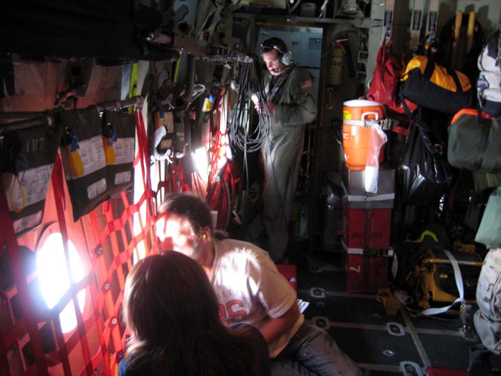
Here’s what the 5- to 6-hour ride from Kangerlussuaq looks like. Amazing views of west Greenland out that little window.
Camp at Jawbone Lake.
Camp, near the Kangerlussuaq ice margin.
Coring platform in action.
After coring in the airport region near Ilulissat, we flew back to Kangerlussuaq for some glacial geology. Here Nicolas Young and I are examining the Little Ice Age moraine and a possible older Neoglacial moraine.
Street sign, Ilullissat.
The three airport-region lakes we targeted for coring are visible here. The lakes are informally named Fishtote Lake (foreground), Jawbone Lake (middle of photo), and Portage Lake (visible in background). My primary objective in Greenland is to obtain Holocene paleoenvironmental and, if feasible, paleotemperature records from these lakes.
Finishing up subsampling a core.
Transporting coring gear to the field area near Ilulissat, west Greenland.

Loess cap on an exhumed boulder near the Greenland Ice Sheet margin.

Musk oxen in foreground, Greenland Ice Sheet in background.
Collecting cladocera (zooplankton) for DNA analyses.
The result: a sediment core with intact, interpretable stratigraphy and containing countless biological, physical and geochemical indicators of enivronmental change..
Fall colors near Kangerlussuaq.
More fall colors near the ice margin.
Iceland and Baffin Island Field Work, 2002-2007
Field work from Iceland and Baffin Island from 2002 to 2007.
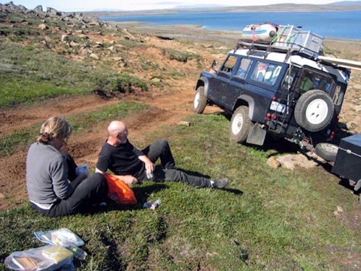
Taking a break for lunch, central Iceland.

A tent provides wind shelter, Baffin Island.
Northeast Iceland.
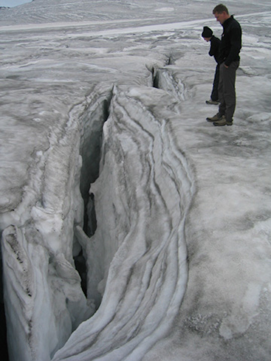
Crevasse, Vatnajokull, Iceland.
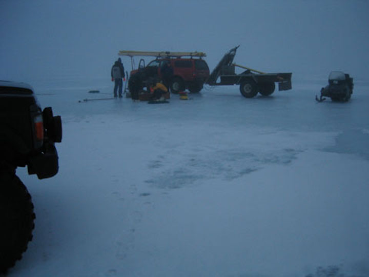
Winter coring in the fog, Iceland.
Cores headed home.
Geophysical surveys on an ice-covered lake, Baffin Island.

Late evening landscape, Iceland.
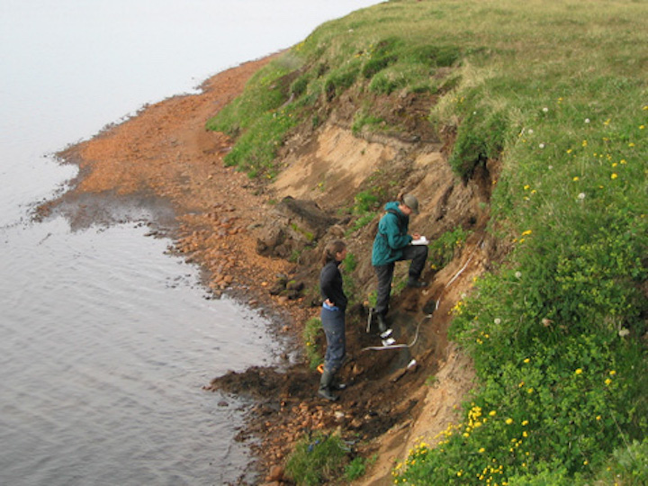
Soil stratigraphy with tephra (volcanic ash) layers, north Iceland.
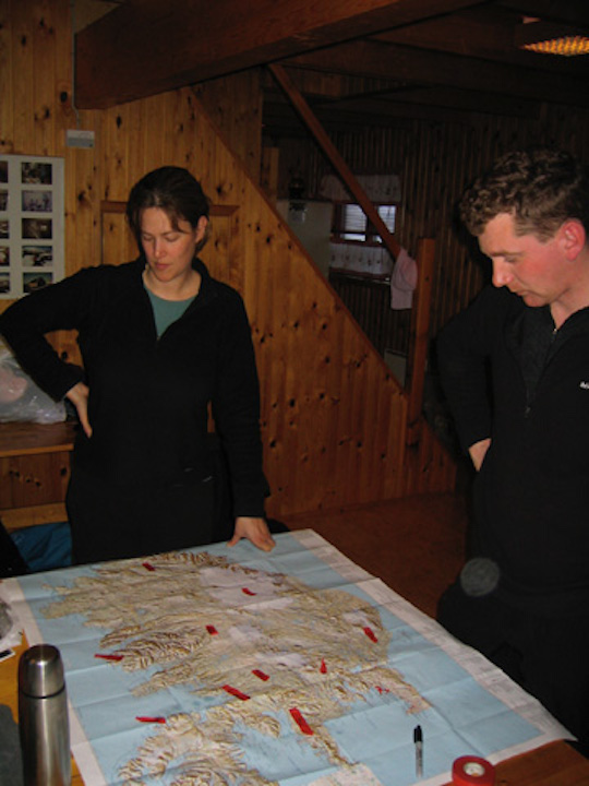
Making a plan.
Surface core, west Iceland.
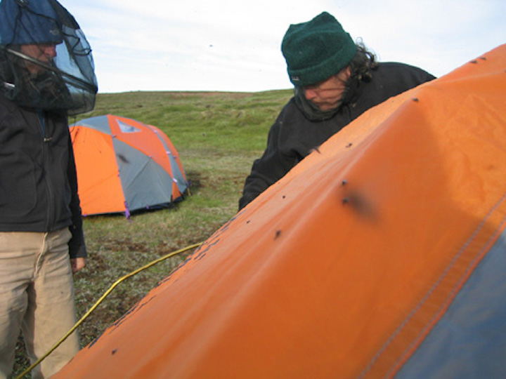
Midges!

A lovely July day, northeast Iceland.
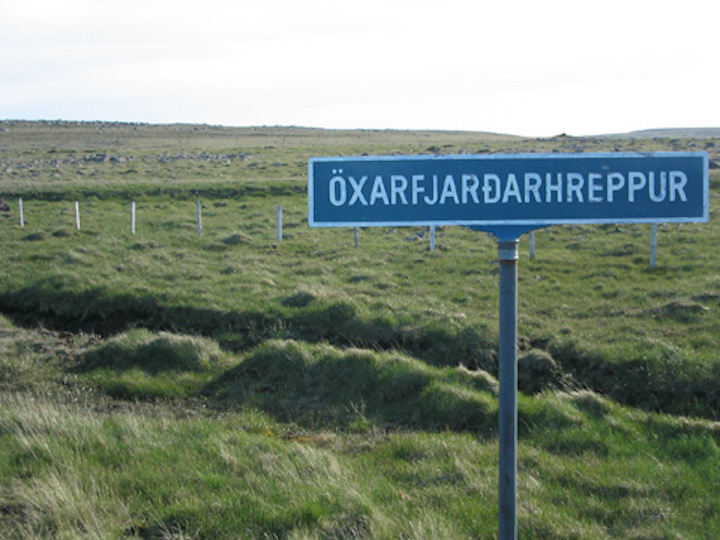
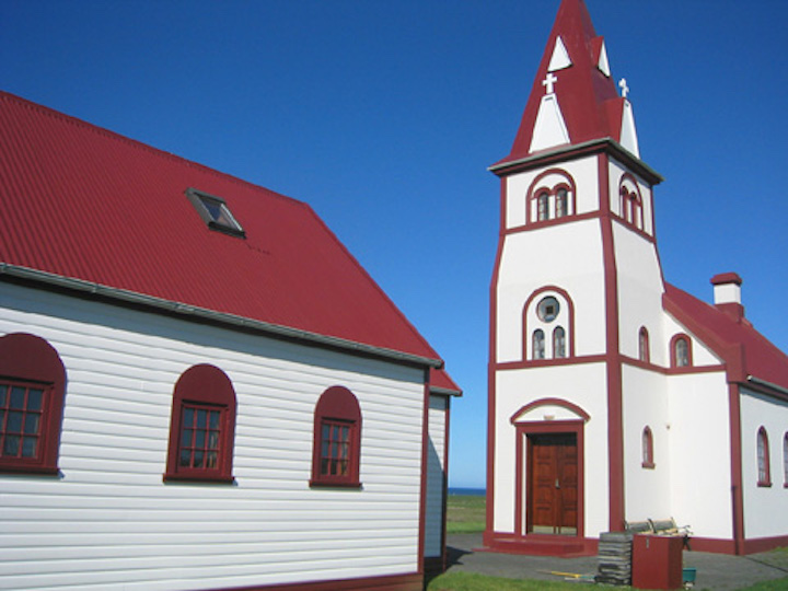
Signage, northeast Iceland.

Windblown sastrugi, Baffin Island.
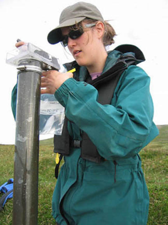
Subsampling a surface core for detailed recent records.

Setting out to core, midnight.

Winter coring, north Iceland.
Winter transportation, Iceland.
Coring a small volcanic lake, central Iceland.
Recap: Coring Lakes, 1998-2008
Some interesting ways to core a lake!

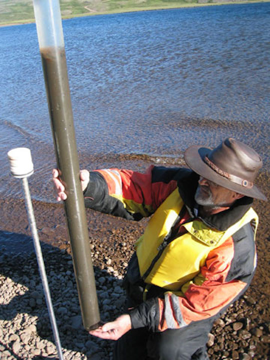
Iceland, 2004. Checking ice thickness (for safety) and water depth (for science).