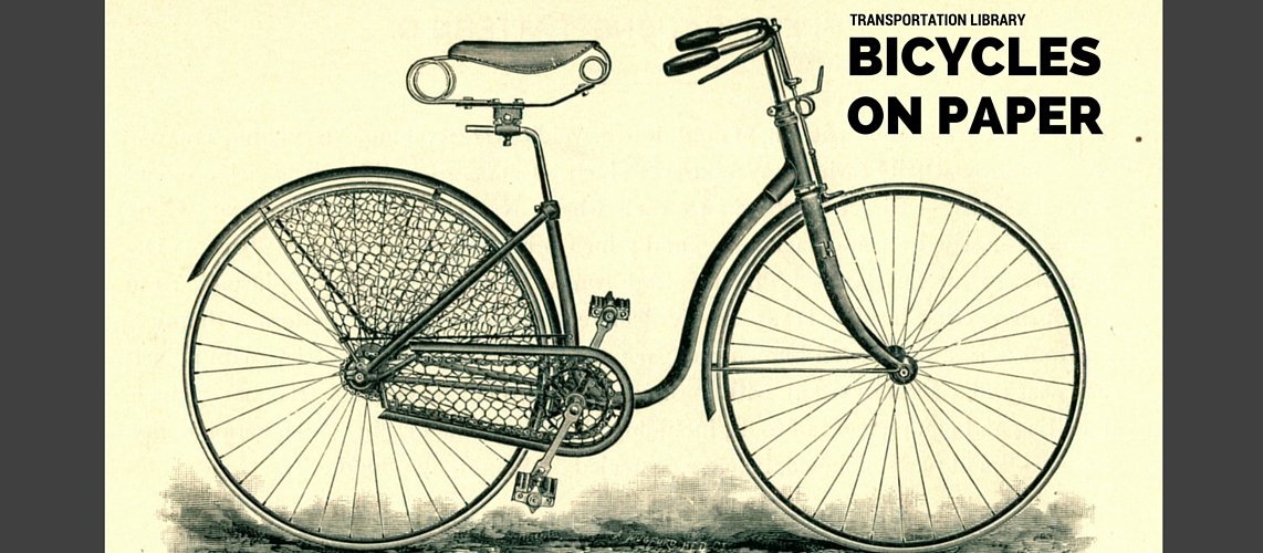
A democratic, inexpensive form of transportation for the masses, the bicycle opened up new worlds of mobility for travelers who for the first time could venture into the countryside–or around the world. Maps guided cyclists on cycle routes through the countryside, while guidebooks helped travelers plot routes with sites of interest, taverns, and inns along the way. Some–a surprising number, in fact–also ventured around the world, documenting their travels in travelogues such as Across Asia on a Bicycle.
Explore the world of the traveler at the turn of the 20th century through maps of cycling routes and accounts of travels.
Across Asia on a Bicycle
Thomas Gaskell Allen and William Lewis Sachtleben
New York : The Century Co., 1894
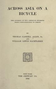
Thomas Gaskell Allen and William Lewis Sachtleben, after graduating from Washington University in St. Louis, set out in 1890 on a bicycle journey across Asia. From their starting point in Liverpool, England, the cyclists crossed over 15,000 miles–through Europe, Turkey, Persia, and northern China, traveling from Shanghai to Japan by boat and ending their journey three years later by traveling eastward across the United States. Long-distance bicycle travel called to many adventurers who may have previously lacked only the vehicle to carry them on their journeys. The first man to attempt a round-the-world tirp, Thomas Stevens, published his account of the trip in Around the World on a Bicycle: from San Francisco to Tehran. Annie Londonderry became the first woman to travel around the world by bicycle, between 1894 and 1895.
Cycle Rides Round London
Charles G. Harper
London: Chapman & Hall, Ltd., 1902
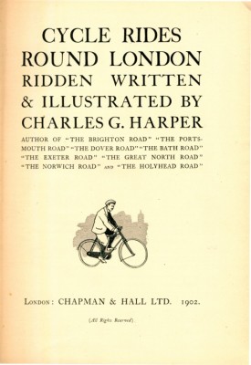
Cycle Rides Round London, published in 1902, was a guidebook for cycling in the countryside aimed at Londoners: “former pedestrians” whose potential travel radius had been expanded to “at least thrice its former extent.”
The book is illustrated with maps and places of interest for the traveler and includes bits of local history and folklore for each destination.
The Hub
John Bartholomew & Co.
London : George Newnes Ltd. 189-?
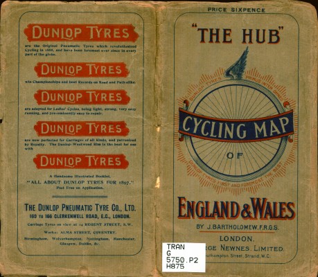 The Hub cycling map, a guide to the best bicycle routes in England and Wales, was drawn, engraved, and printed by John Bartholomew & Co. The company was founded as Bartholomew & Son in 1826, initially printing items ranging from checkbooks to election literature as well as maps. By the 1890s, when this was printed, they specialized in mostly cartographic publications.
Cyclists’ and Tourists’ Map of the Country Fifty Miles Round London
John Bartholomew & Co.
London : H. Grube, approximately 1900
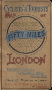
Published in approximately 1900, the Cyclists’ and Tourists’ Map showed cycling routes in the fifty miles surrounding London, providing cyclists with information on rideable roads and dangerous hills on a map which was mounted on linen, making it more durable for the rugged traveler.