New York City Transit Authority
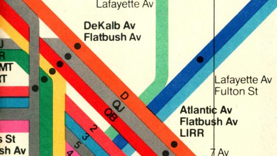
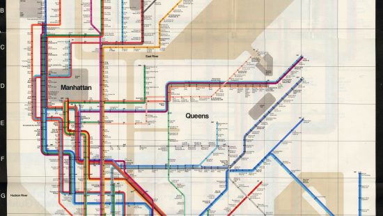
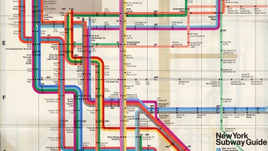
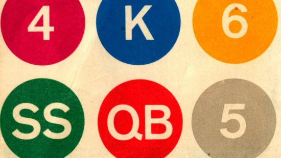
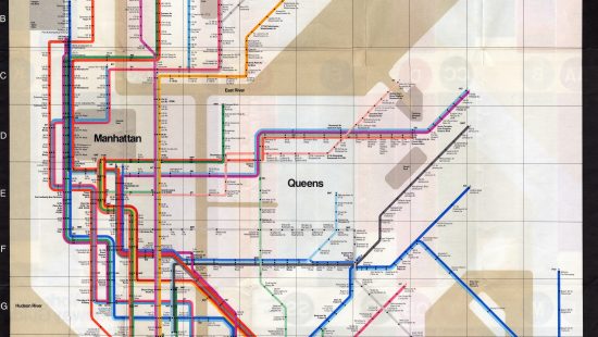
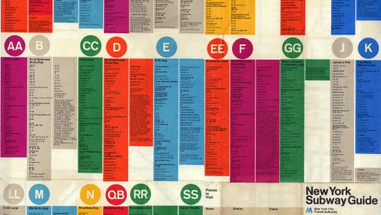
Prior to 1953, New York City public transportation was served by several independent entities, each with its own signage, maps, and wayfinding design. The various subway systems were first brought together as a map in 1958. In 1972, the New York City Transit Authority (later, the Metropolitan Transit Authority) published a new edition of the subway guide designed by Massimo Vignelli, who abstracted the city into a form that was logical and modern. He later said that the guide was intended to be a diagram, rather than a map.
While Vignelli’s modern design was praised by the design community (and is regarded as a classic of great graphic design today), it was loathed by New Yorkers, who objected to the liberties Vignelli took with the map and with the representation of their city. The map rendered parks and rivers as grey and beige, and represented the subway system as a navigable underground grid that, aside from place names, was removed from the city that existed above. It was in use until 1979.
New York Subway Guide, 1972
New York Subway Guide, 1972 (2)
More Information
Items in the exhibit are housed at Northwestern University’s Transportation Library. Email transportationlibrary@northwestern.edu with questions, or to schedule an appointment.

