
By Anne Zald, Assistant Head for Government, Business, & Geospatial Services
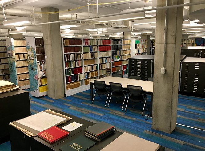
After two years of planning, five months of construction and four weeks of moving, the Government & Geographic Information Collection at University Libraries is now open to researchers in University Library, B190 Lower Level. In addition to housing books, microfiche, and maps, the space is also equipped with public computers, printers, and scanners – including a large format scanner for copying flat, oversized materials such as maps and posters.
The University Libraries was designated a federal depository library in 1876 and since that time has grown to include publications from U.S. federal agencies, the United Nations (designated a depository in 1946), the World Bank, the International Monetary Fund (IMF), the World Health Organization and a number of additional intergovernmental organizations. The Federal Depository Library Program (FDLP) was established to ensure that the public has access to information about the policies, laws, regulations, and programs provided by their government. With access to information, individuals and groups can participate in the democratic processes of creating the law, interpreting and applying the law, and to living together in a diverse society governed by law.
Materials in the depository collections include:
- Statistical information on a wide cross-section of demographic, social, and economic phenomena which are used by the public and researchers to understand the composition, scale, and quality of our population, economy, natural resources, health care, and much more.
- Information about government programs that provide services to organizations and individuals such as Social Security, programs to support small businesses, school lunch programs and good nutrition; grant funding offered by the National Endowment for the Arts, the Institute for Museum and Library Services, and the National Endowment for the Humanities; programs that help make your home more energy efficient or subsidize heating costs for those unable to pay; and many more
- Scientists in a variety of fields working for the U.S. Forest Service, the U.S. Geological Survey, the Environmental Protection Agency, NASA, NOAA, National Park Service, among other agencies produce information that advances knowledge and improves our ability to preserve, manage, and sustain natural resources held in trust for the public good.
- Documentation of the historical record of government programs, policies, economic conditions, foreign relations, population growth, and more.
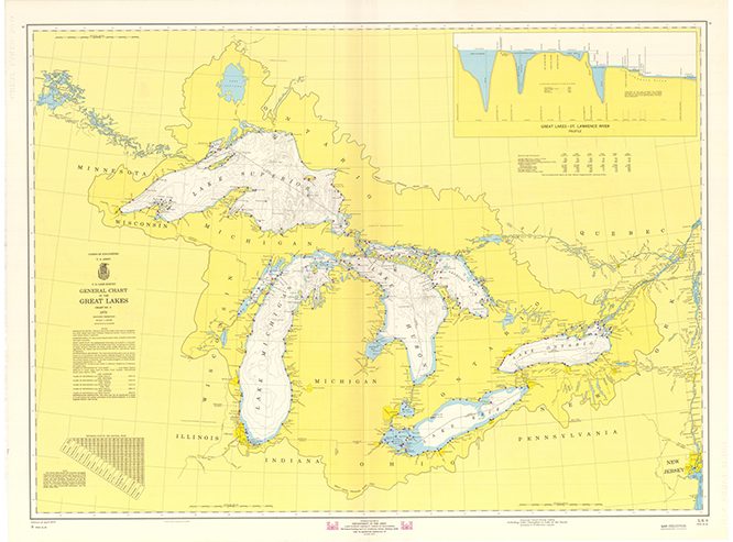
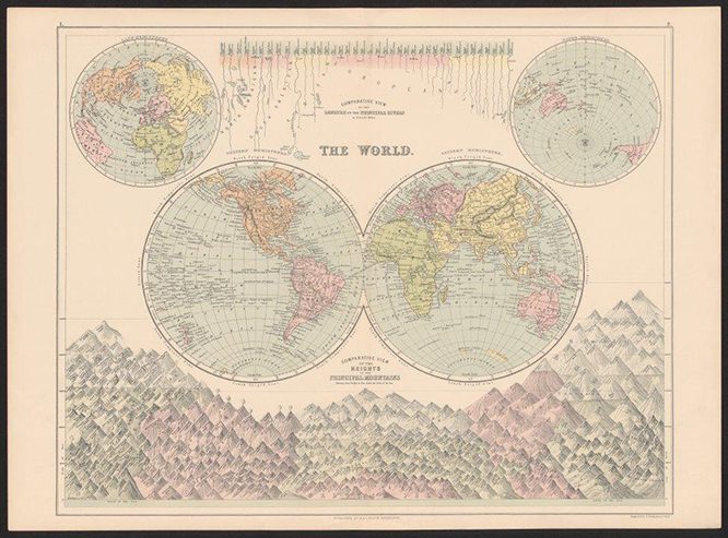
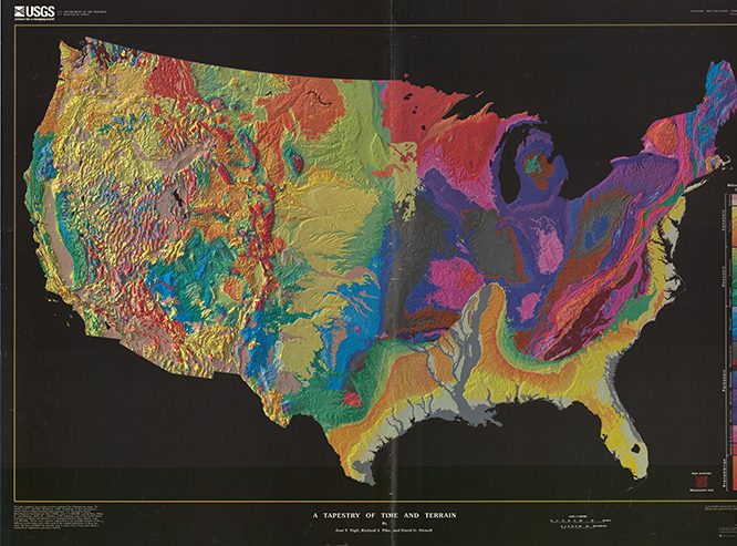
- Maps, both current and historical, of the US, Illinois, Chicago, all world regions, and beyond! Topographic maps provide information about the natural and human-built environment; thematic maps present information on a variety of topics such as population, business locations, land use, land cover, urban change, and more.
If you’d like to explore the newly renovated space, mark your calendar for the open house:
Open House: Government & Geographic Information
Monday, May 14
4:00 – 5:00 PM
University Library
B190 Lower Level
Refreshements will be served!
If you can’t make it to the open house, but want to learn more, just stop by B190 or contact us at 847-467-6441 or govinfo@northwestern.edu.