
I am also very interested in using spatial data to tell stories about the earth. Before starting my Ph.D., I worked at Arizona State University and helped launch the temporal-spatial data visualization tool: MapStory.org. I continue to contribute earth science related spatial-temporal data.
I also enjoy helping out with other research / coring expeditions. These trips to the Yucatan region of Mexico for the Northwestern biennial field trip, and local Axford lab expeditions to Midwest lakes.
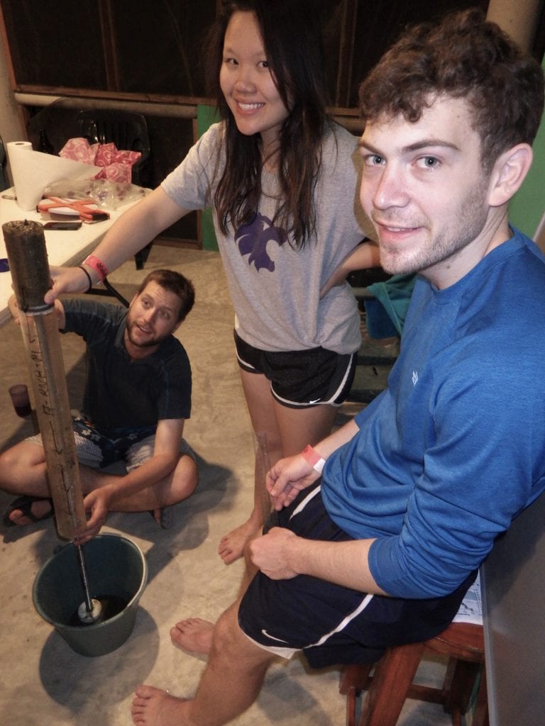
Draining sulfidic waters from a surface core collected at a cenote in Mexico (2017)
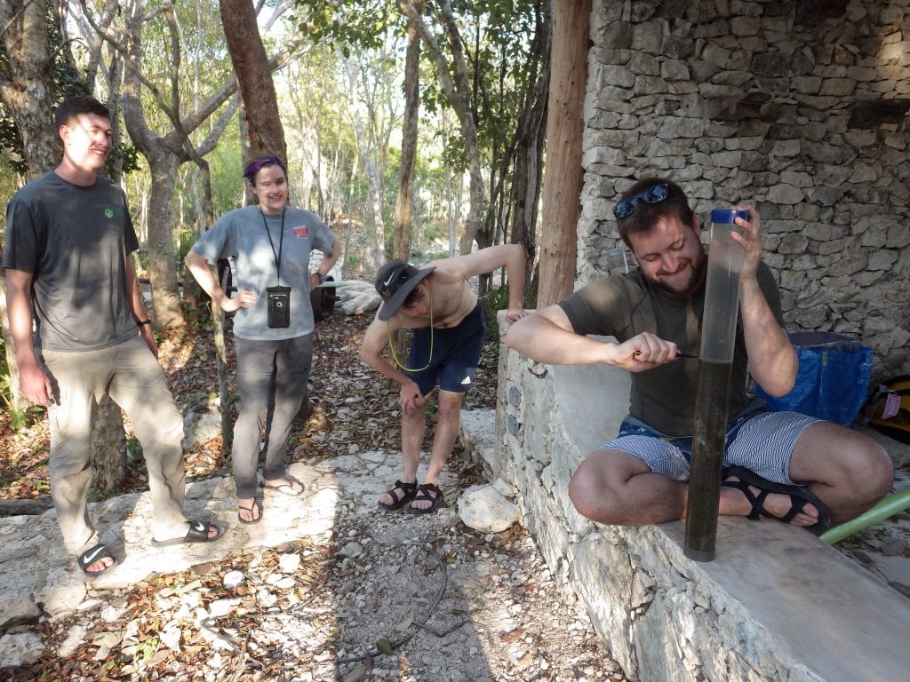
Teaching Northwestern students how to creatively sub-section a cenote sediment core (2017)

Coring Laguna Baccalar in Mexico (2015). The only time the water has been warm enough get into the water 🙂

Discussing microbial mat banding in a freshly collected core with Northwestern undergraduates from Laguna Bacalar, Mexico (2015)